Flood forecasters say Saskatchewan could be in for an above-average spring runoff thanks to a wet fall.
The province's Water Security Agency has released its report on conditions going into the winter freeze-up.
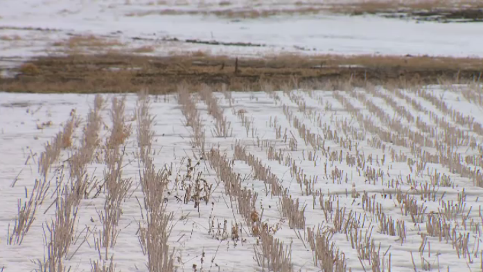
The agency says soil moisture levels were at or near capacity at the end of November across the province.
It notes that Moose Jaw saw the highest precipitation ever recorded for the month of October.
The agency says if there is an average snowpack and spring melt, most parts of Saskatchewan will see a high spring runoff.
It says current predictions suggest normal precipitation between December and the end of February.
"However, there are no long-range precipitation forecasts with appreciable reliability, and the effects of climate cycles on mid-continental precipitation is complex, variable, and inconsistent," the agency said in its 2016 Conditions at Freeze-Up Report.
The agency says Swift Current Creek, Wood River, Notekeu Creek, lower Carrot River, Red Deer River, upper Assiniboine River, and Swan River basins all have above normal moisture conditions.
"Many areas of the province are as wet or wetter than they were going into freeze-up in 2010," the report says. "While the conditions at freeze-up are concerning, widespread flooding, similar to what was observed during the spring of 2011, will depend in large part on the snowpack that develops."
The agency's next outlook will be issued in early February.
