REGINA -- It’s been a while since we’ve seen consistent warm temperatures in the southern half of the province. We started April with a beautiful stretch of sun and warmth, and since then it’s been a little grey, a little cool and there was a whole lot of snow for a few days there… if you live here, you know.
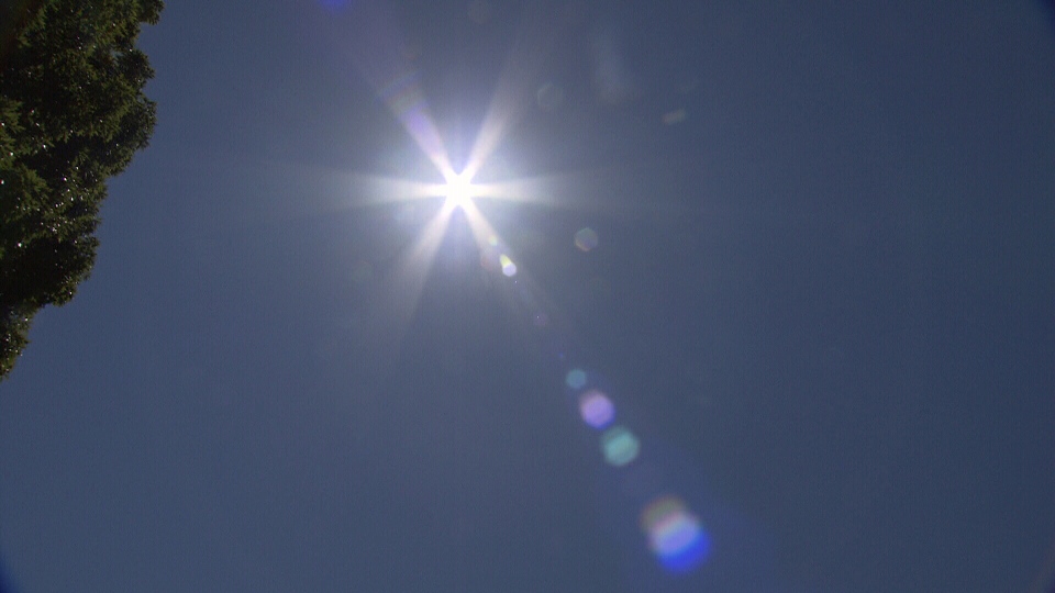
But that is all about to change, and I no longer need to be the bearer of bad news (read that as cold and snow). Instead, I can say that temperatures are on the up and up heading into May, and we may even see a few more April showers. Basically, a perfect combination of weather to end April, if I had to choose.
Tuesday looks to be a mostly sunny day, with many southern Saskatchewan communities headed towards that 20-degree mark. However central and northern Saskatchewan will have to wait for the warm-up as a cold front pulls through and low pressure in the upper atmosphere sticks around.
We will have a little blip on Wednesday, with a low from Alberta passing through southern Saskatchewan bringing with it a few degrees drop and some showers, but then things warm up once again heading into Thursday. This is only expected to a small decrease in temperatures though, still keeping daytime highs in the double digits.
On Thursday, we start to see a large ridge of high-pressure build-in through the upper atmosphere. This is going to bring warm air from the south and send temperatures soaring. Temperatures will be right on seasonal in Regina on Thursday which is around 15 degrees Celsius for this week. But we are likely to see those 20 degree days once again on Friday and Saturday. We may even inch towards the 25 degree mark on Friday, but there is a slight chance of thunderstorms on Saturday afternoon.
Now, in April, we typically see just over four days of temperatures above 20 degrees, so we actually need to see two more days this week that reach that high to be right on our 1981-2010 average. Will we get there? I’d say it’s very likely heading through your last work week of April.
